Idaho Hunt Planner We got game.
Hunt Area
That portion of Unit 35 within the Sawtooth National Recreation Area boundary and that portion of Unit 36 south of State Highway 21 and west of State Highway 75 and north of the following line: starting at Snowyside Peak and proceeding south along the divide between Alpine Creek and Pettit Lake Creek. Then north along the divide between Pettit Lake Creek and Cabin and Vat Creeks to the Pettit Lake Rec System Road (USFS Road 70208). Then east along the Pettit Lake Rec System Road and finally terminating at the junction of State Highway 75.
More information about the Game Management Unit(s) in this area: 35 36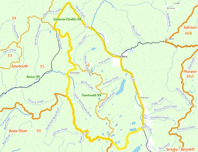
Surface Management
For government land, these data show the managing agency of the land, which may or not be the same as the owning agency.
 U.S. Forest Service (USFS) 96.35%
|
|
Private 1.97%
|
|
State of Idaho 0.17%
|
Make your own map of Hunt Area
Ownership data source: Inside Idaho
Access Yes! Properties
Access Yes! is Fish and Game program designed to improve hunting and fishing access to private land or through private land to public land by compensating willing landowners who provide access.
No properties are currently available in .
View all Access Yes Participants.
Forest Service Land
Check for road and area closures on National Forest websites
No National Forest lands fall within .
Federally-designated Wilderness Areas
No motorized vehicles are allowed in these areas.
- Sawtooth Wilderness 120,980 acres (55.09% of hunt area)
Land Use/Land Cover
No landcover for this area is available at this time.
Towns in this Hunt Area
No services are available inside .
Services courtesy of the Official Idaho Travel and Tourism Guide